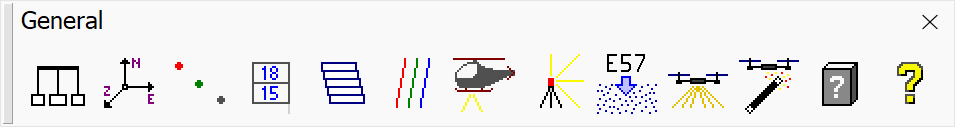
General toolbox
The tools in the General toolbox are used to define user settings, to define point classes, to define project blocks, to manage trajectories, to load points and to access license information and the users’ guide document.
TO |
USE TOOL |
|
|---|---|---|
Change user settings |
|
|
Define coordinate range and resolution |
|
|
Define point classes and drawing symbology |
|
|
Design project block boundaries |
|
Design Block Boundaries Not UAV |
Define project and data blocks |
|
Define Project Not UAV |
Manage trajectory information |
|
|
Load points from airborne / mobile scanning |
|
|
Load points from static terrestrial scanning |
|
|
Read points, and extract scan positions and images from e57 |
|
|
Read UAV point data and initialize processing project |
|
|
Quickly classify UAV point cloud data |
|
|
Show about TerraScan and license information |
|
|
Open online help |
|
|


