
TerraMatch User Guide
Tie line types
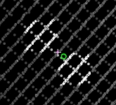
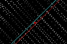
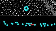
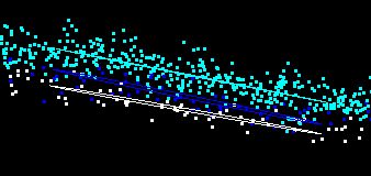
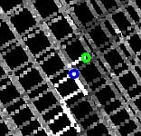
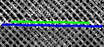
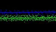
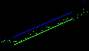
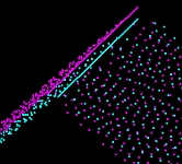
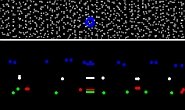
There are different types of tie lines which can be created depending on the objects and features available in the laser data set. An overview of the tie line types is given in the following table and examples are shown below in another table.
Abbreviations |
||
(G)CP - (ground) control point |
h - heading |
x - easting |
ALS - airborne laser scanning data |
r - roll |
y - northing |
MLS - mobile laser scanning data |
p - pitch |
z - elevation |
Tie line type |
Placement method |
Possible locations |
Added value for solving |
Input data |
|---|---|---|---|---|
Ground point |
•manual |
•end point of paint markings on the ground •circular objects on the ground |
•h r p •xy z |
•high point density ALS •MLS |
Known xyz point Known xy point |
•import from text file or selected vectors •automatic/manual |
•CP on bright signal marker on dark hard surface (horizontal or vertical surface) •GCP on endpoints of paint markings on the ground •CP defined on target objects •Xyz point if reference lines are defined |
•h r p •absolute xy z or xy |
•high point density ALS •MLS •signal marker definition or target object definition •GCP text file or vector data |
Known z point |
•import from text file or selected vectors •manual |
•GCP on the ground without known xy |
•h r p •absolute z |
•ALS •MLS •GCP text file or vector data |
Xyz point |
•automatic |
•objects represented by grouped and classified points |
•absolute xy z |
•ALS •MLS |
Xy point |
•manual |
•building corners •poles |
•h •internal xy |
•high point density ALS •MLS |
Elevation point |
•import from text file or selected vectors •half-automatic |
•surfaces |
•internal z |
•ALS •MLS |
Ground line |
•manual |
•along paint markings on the ground |
•h r p •xy z |
•high point density ALS •MLS |
Plane point |
•automatic search |
•surfaces |
•h r p •xy z |
•high point density ALS •MLS |
Section line •flat ground |
•automatic search •manual |
•flat, hard surfaces |
•r •z |
•ALS •MLS •flat ground classification |
Section line •surface |
•automatic search •manual |
•surfaces |
•h r p •z |
•ALS |
Section line •vertical walls |
•automatic search •manual |
•building walls •vertical poles |
•h r p •xy z |
•MLS |
Known line |
•import from text file •automatic/manual |
•point on linear paint markings |
•h •r p (ALS) •xy z |
•high point density ALS •MLS |
Cloud known XYZ |
•automatic search |
•several alternative environments. See Search cloud-to-cloud for details. |
•absolute xy z |
•ALS, MLS, UAV scanning systems •Reference point cloud |
Cloud XYZ Cloud XY |
•automatic search |
•several alternative environments. See Search cloud-to-cloud for details. |
•internal xy z or xy |
•ALS, MLS, UAV scanning systems |
Roof intersection line |
•automatic search |
•intersection of two roof surfaces |
•h r p •xy z |
•ALS •building classification |
Examples |
|
|---|---|
Known xyz or xy point
|
Known line
|
Known z point
|
Plane point
|
Ground point
|
Ground line
|
Section line - flat ground
|
Section line - surface
|
Section line - vertical wall
|
Roof intersection line
|
Xy point
|
Elevation point
|