

TerraPhoto
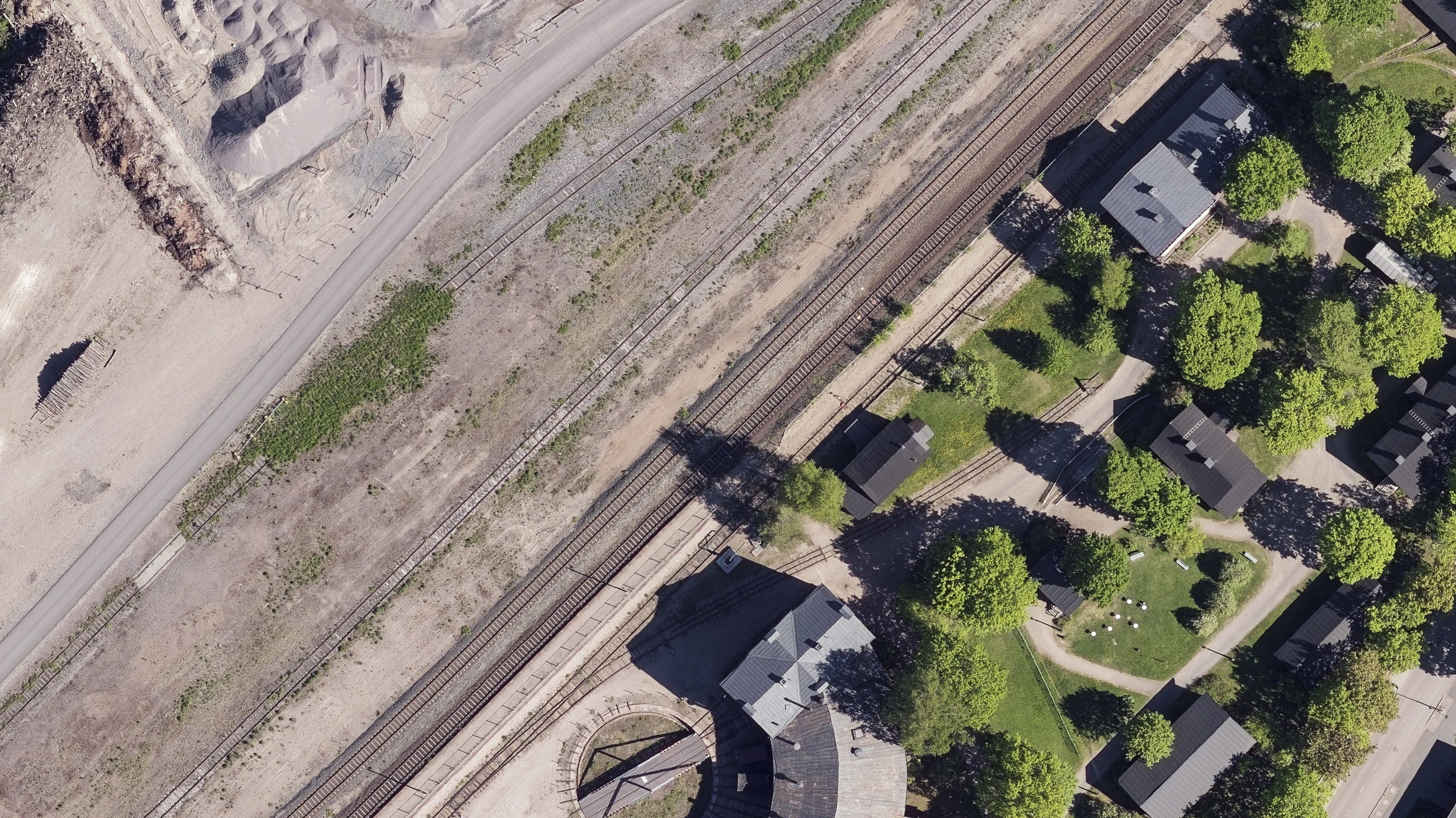
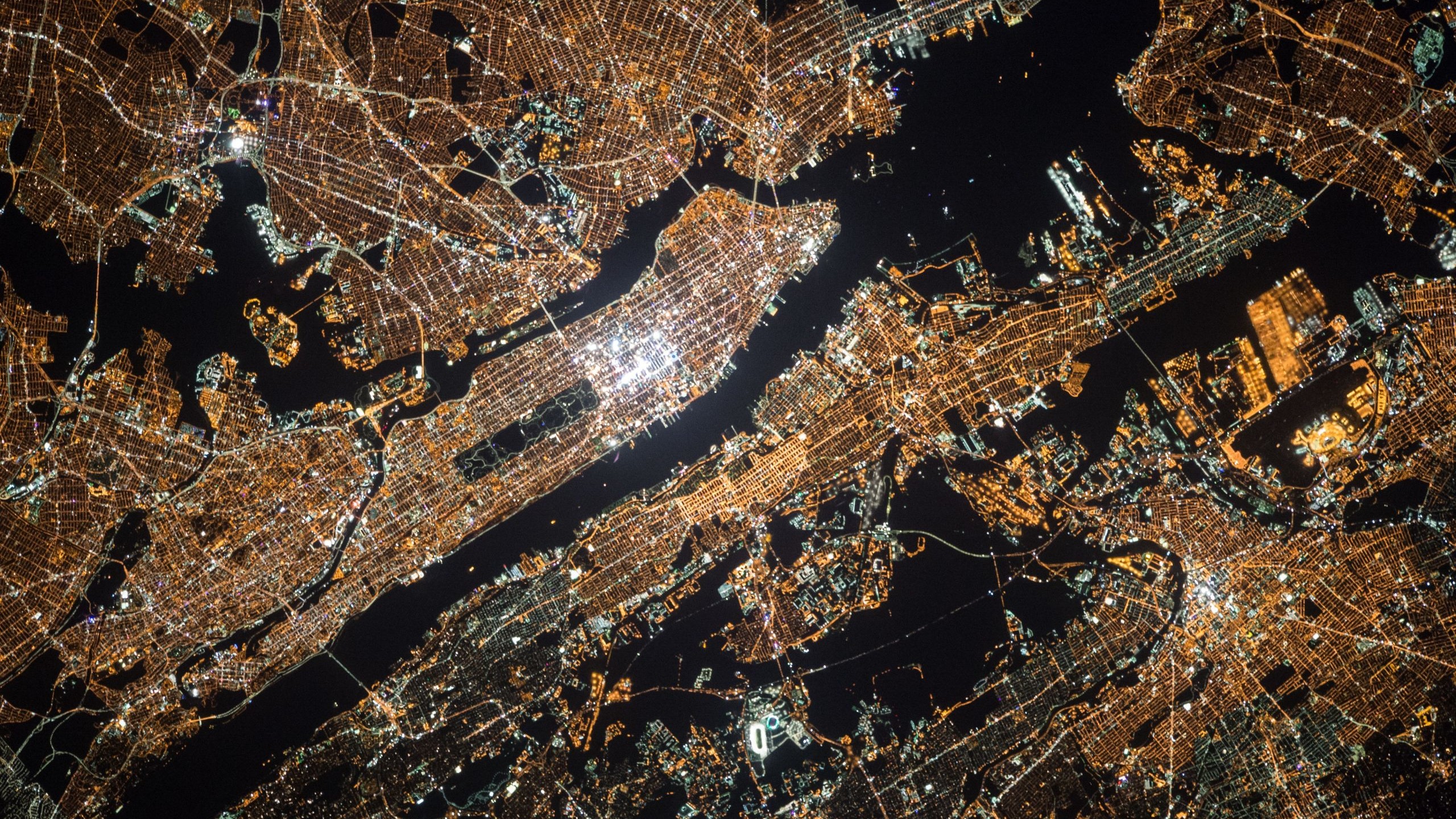
TerraPhoto is specifically developed for processing images captured together with laser data during a survey mission. The software enables the production of rectified images and ortho mosaics based on ground model that has been extracted from the laser data. The positioning of the source images can be refined by using tie points for image-to-image adjustment while ground control point can be involved for improving the absolute accuracy of the image block. With additional functionality, such as color adjustment options, the creation of selection shapes for several object types or areas (e.g. buildings, water), the inclusion of vector models for true-ortho photo production, TerraPhoto lets you create ortho photos of good positional and color-coordinated quality.
TerraPhoto is available in Full, UAV and Lite versions
Functionality matrix comparing TerraPhoto, TerraPhoto UAV and TerraPhoto Lite – Click to open
Ortho-rectification of Images and Data Visualization
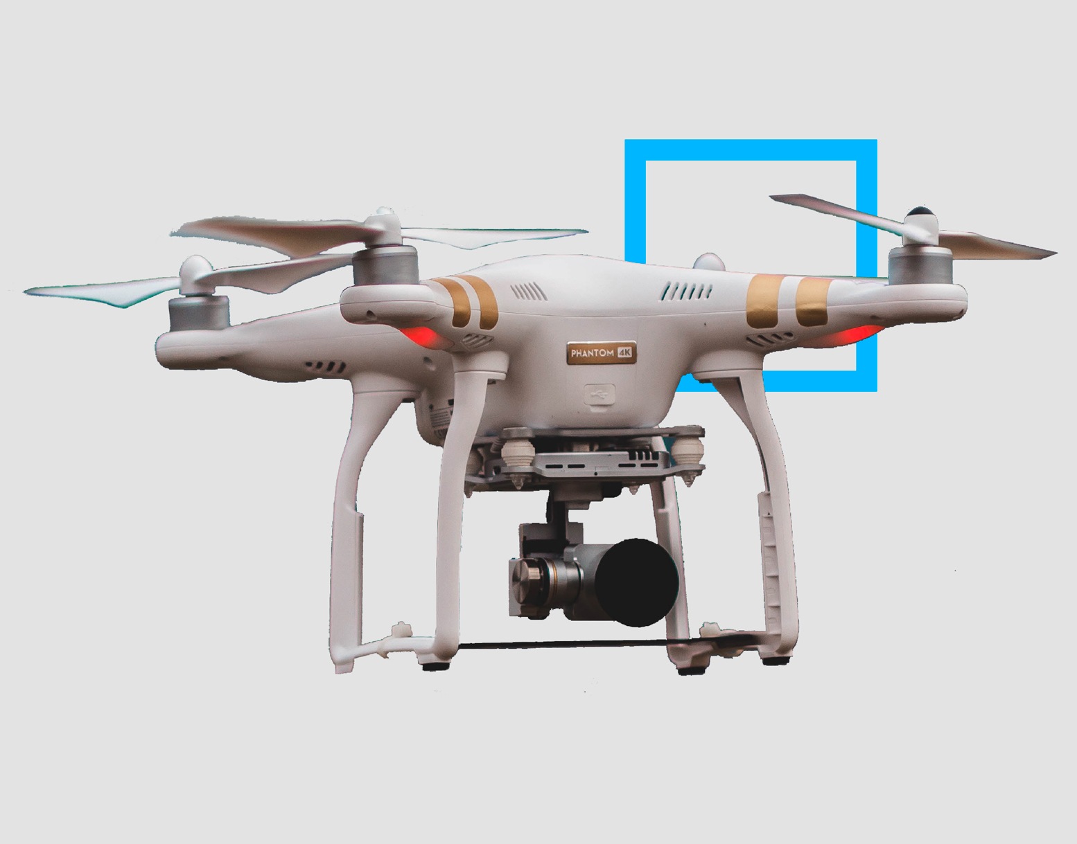
Besides starting a camera calibration from scratch, TerraPhoto is able to convert calibration files from several mobile and airborne systems into its own camera file format. It reads numerous image formats, such as ECW, GeoTIFF, TIF, BMP, CIT, COT, RLE, PIC, PCX, GIF, JPG2000 and PMG.
Combine TerraPhoto with other Terra applications.
TerraPhoto offers many tools for visualizing laser and image data together, partly in combination with tools from TerraScan and TerraModeler. This includes the opportunity of draping ortho photos on a ground model or on building roofs, the creation of wall textures from horizontally-looking cameras of mobile or airborne systems, as well as the display of rendered views. With TerraPhoto you can also create fly-through animations from laser and image data in an easy and intuitive way. Finally, the extraction of color values from images or ortho photos to laser points can be performed with TerraPhoto and TerraScan.
Applications
Urban planning | Architectural and historical site documentation | Asset visualization and management | Emergency response, security and defense | Noise, flood, solar, shadow, visibility, lightning and wind analysis | Accident and catastrophe risk assessment | Virtual reality | Marketing | Visualization for communication of information to citizen | Radio-wave propagation | Fly-through animations | etc.
Purchase
Purchase our products here. We have three different purchasing options for perpetual, subscription and academic licenses. Contact us for more information about different purchasing options.
Download
Download the software of your choice from our Software Download center. A license is needed for all of our software. You can familiarize with our pricing options in the Pricing section.
Technical description
You can read more about the specifications and technical description for each Terrasolid product here if you want to have a more comprehensive understanding of our individual products.
Discover
TerraPhoto is a powerfull tool for Ortho-rectification of Images and Data Visualization. It is designed to streamline your process and make your life easier.
Get to know
I am text block. Click edit button to change this text. Lorem ipsum dolor sit amet, consectetur adipiscing elit. Ut elit tellus, luctus nec ullamcorper mattis, pulvinar dapibus leo. I am text block. Click edit button to change this text. Lorem ipsum dolor sit amet, consectetur adipiscing elit. Ut elit tellus, luctus nec ullamcorper mattis, pulvinar dapibus leo.
I am text block. Click edit button to change this text. Lorem ipsum dolor sit amet, consectetur adipiscing elit. Ut elit tellus, luctus nec ullamcorper mattis, pulvinar dapibus leo. I am text block. Click edit button to change this text. Lorem ipsum dolor sit amet, consectetur adipiscing elit. Ut elit tellus, luctus nec ullamcorper mattis, pulvinar dapibus leo.