Convert geoid model
Convert geoid model command converts a source geoid model into a geoid text file that can be used by Terra application tools. Supported source geoid models are:
•Denker - European geoid model
•EGM96, EGM2008 - global geoid models
•GSIGEOME - Japanese geoid model
•HBG03, HBG18 - Belgian geoid models
•Norway - Norwegian geoid model file format (such as "href2016b_nn2000_euref89.txt")
•RAF98, RAF18 - French geoid models
•SA2010 - South African geoid model
The process can include a coordinate conversion from the source geoid model's coordinates into a projection system, another transformation as well as the addition of an elevation difference.
To convert a geoid model:
1. Select Convert geoid model command from the Tools pulldown menu.
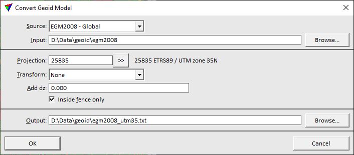
This opens the Convert Geoid Model dialog:
2. Define settings and click OK.
This converts the source geoid model into the output text file.
SETTING |
EFFECT |
|---|---|
Source |
Source geoid model. |
Input |
Storage location and name of the source geoid model file. |
Projection |
Target projection system of the geoid text file. Click on the >> Button to open the Browse for Projection System dialog. The dialog provides a search option for projection systems as well as a list of all implemented systems. In addition, any user-defined projection systems are included in the list. |
Transform |
Transformation applied to the geoid model coordinates. The list contains all transformation defined in the Coordinate transformations / Transformations category of TerraScan Settings. |
Add dz |
Defines a value that is added to the elevation difference values of the geoid model. |
Inside fence only |
If on, the output file is written only for geoid model points inside a fence or selected polygon. Requires a fence or selected polygon in the CAD file. This is recommended if you convert a global or country-wide geoid model for a smaller project area. |
Output |
Storage location and name of the output text file. |