Terrasolid is the industry standard software for point clouds and images processing, developed specifically for the demanding requirements of geospatial, engineering, operations and environmental professionals.
Versatileandcapabletools
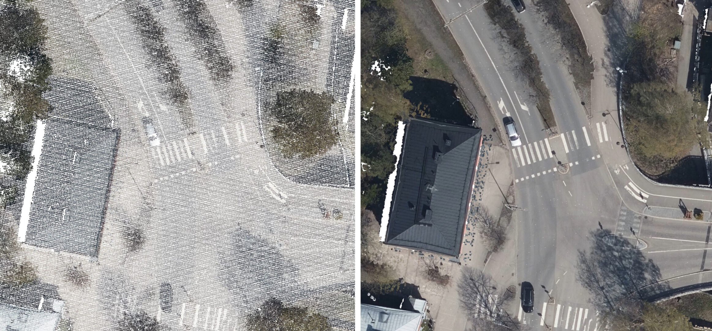
Our software suite provides versatile and capable tools to create 3D vector models, feature extractions, orthophotos, terrain representations, advanced point cloud visualizations, etc., no matter the data source, no matter the sensor. The finest tools for calibration and matching of point clouds for LiDAR data are included.
Over30yearsofindustryexperience
Terrasolid 30+ years industry experience and more than 20 years in LiDAR business ensures that you have access to reliable and versatile software products that can solve problems extensively, both in different application areas and with different types of data.